Why does one Freeport home on the Harraseeket command seven figures while a similar inland house sells for far less? If you are buying or selling on Casco Bay, understanding the “waterfront premium” can help you price confidently and avoid surprises. In this guide, you will learn what actually drives that premium in Freeport, what can reduce it, and how to evaluate a specific property. Let’s dive in.
What a waterfront premium means
A waterfront premium is the percent price uplift a home receives for direct water frontage or immediate water access compared with a similar non-waterfront home. National research often finds premiums in the tens of percent, and some global studies report even larger uplifts. In Freeport, the actual premium depends on frontage type, docking or mooring rights, view quality, house condition, and elevation.
Why Freeport waterfront is scarce
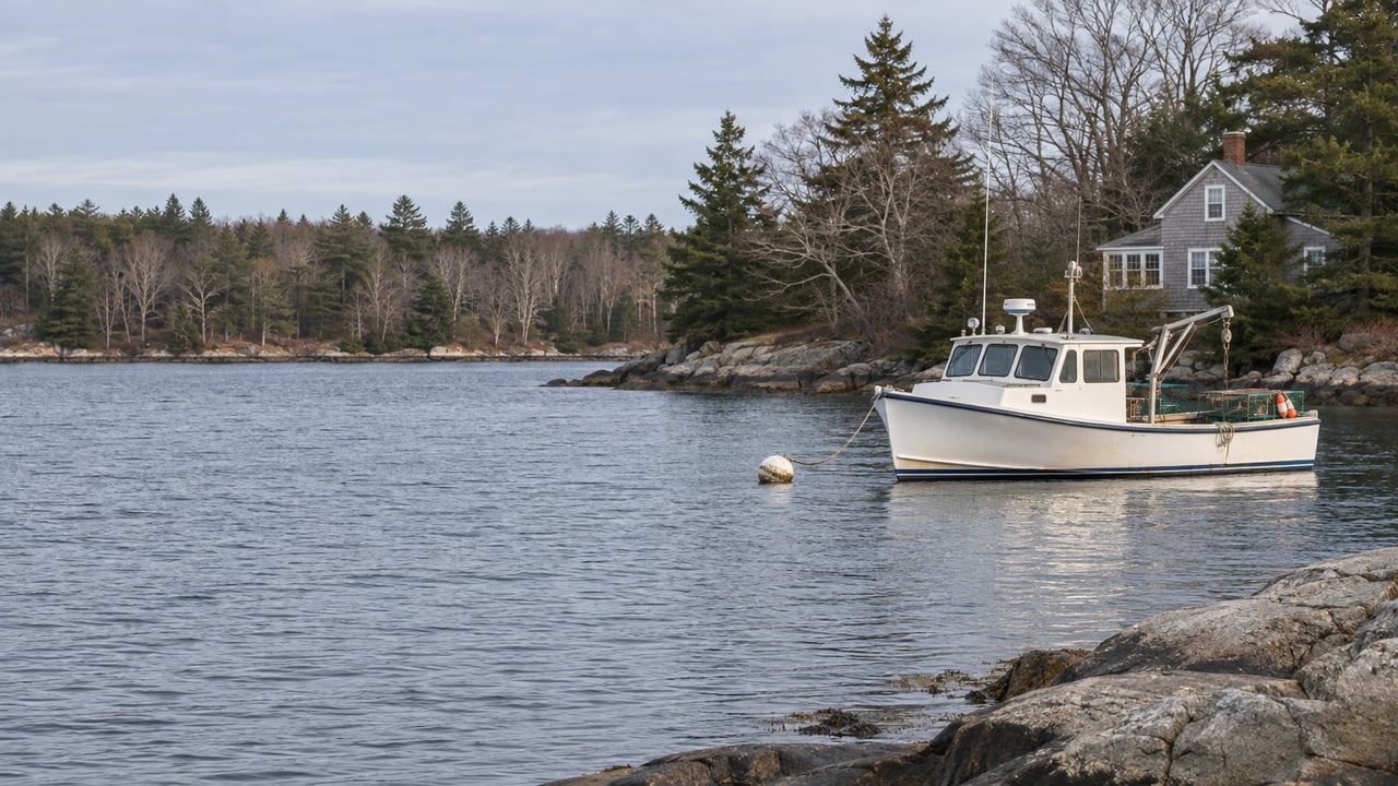
Freeport’s shoreline touches Casco Bay, including the tidal Harraseeket River and small coves with rocky coastlines. True frontline parcels are limited, which concentrates demand. The Harraseeket is a working and recreational harbor, and its small scale means opportunities for direct access are finite.
Usable water access: docks and moorings
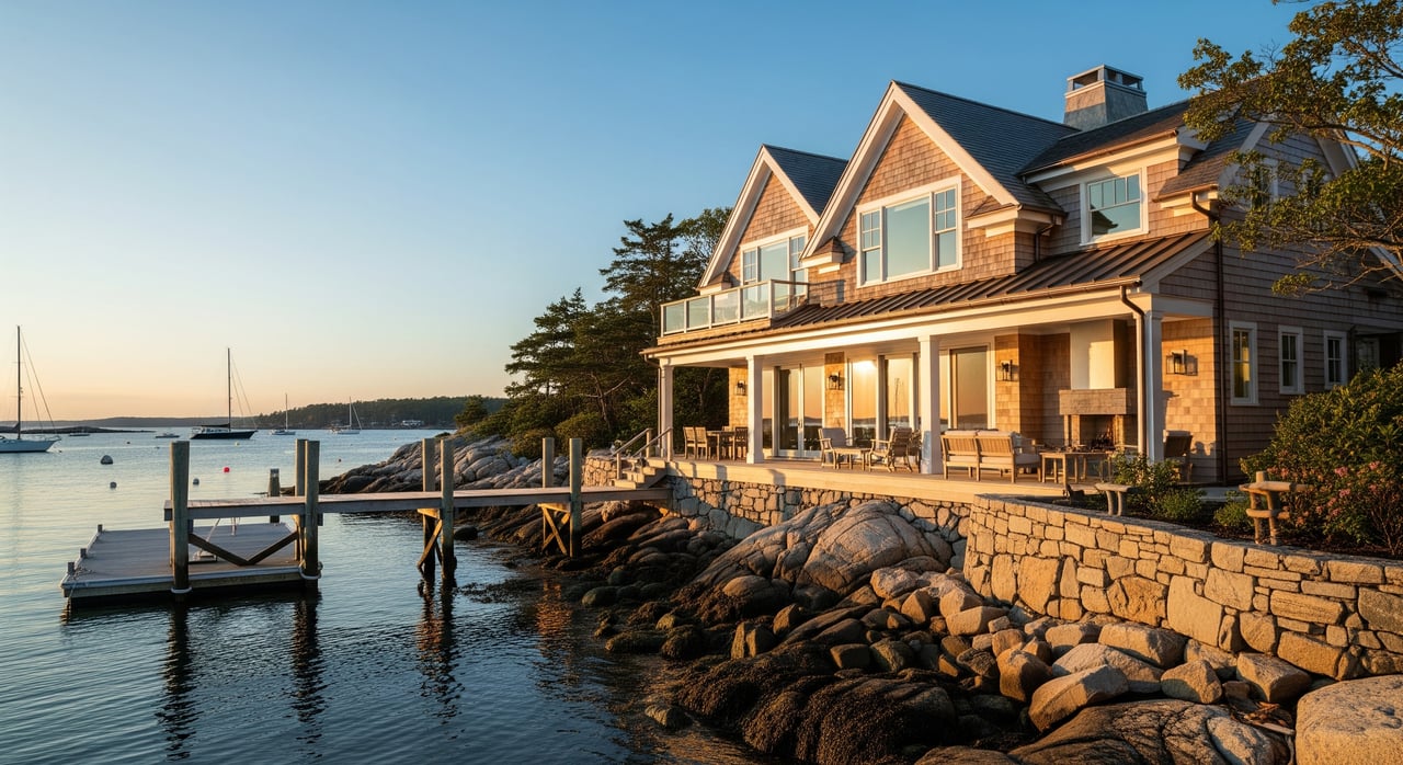
The biggest value driver after location is usable access. A private dock, deeded water access, or an assigned mooring can materially increase what buyers are willing to pay.
- Freeport oversees moorings and anchorage capacity through the harbormaster and Coastal Waters oversight. Review the town’s program on the Harbor Master page.
- Regional guidance explains how local ordinances limit moorings and set inspection standards. See the Maine Harbormasters ordinance guide.
If a property has deepwater access, an existing dock, or a guaranteed berth, the premium is typically higher than a view-only lot with no safe boat access.
Amenities and access that boost demand
You are not just buying a shoreline. You are buying daily life in a coastal town that draws visitors year-round.
- L.L.Bean’s flagship campus and Main Street shopping bring steady energy and tourism.
- Waterfront trails and farms add everyday quality of life. Explore Wolfe’s Neck Center for a sense of nearby conserved land and outdoor access.
- Proximity to Portland makes Freeport attractive for commuters and second-home owners.
These factors broaden the buyer pool for waterfront homes and support stronger pricing.
Rules that shape what you can build
Shoreline projects face stricter rules than inland sites. Before you plan an addition or a new dock, check the following:
- Maine’s mandatory shoreland zoning sets setbacks, buffers, and structure limits within defined distances of tidal waters. Review the statute on shoreland zoning.
- Freeport’s coastal waters oversight and mooring permits regulate water-based uses. Start with the town’s Harbor Master page and consult local ordinances.
These guardrails protect sensitive areas and can affect both feasibility and cost, which in turn influence value.
Environmental factors buyers consider
Casco Bay hosts eelgrass meadows, salt marsh, and other critical habitat. Protections on these resources limit dredging and can restrict new docks or mooring placements. Local reporting notes eelgrass decline in parts of the bay, which has prompted closer monitoring and management. For context, see this coverage of eelgrass meadows in Casco Bay.
If a parcel’s frontage overlaps habitat zones or wetlands, permitting may be more complex and timelines longer. That complexity can narrow the premium unless the property already has compliant access in place.
Flood maps, insurance and future water levels
Updated flood maps and sea-level rise projections are central to pricing waterfront risk.
- FEMA flood maps in Cumberland County were updated in 2024. Some properties are newly mapped into Special Flood Hazard Areas, which can trigger lender-required flood insurance. Learn about the update process at the regional page for flood rate maps and check any address in the FEMA Map Service Center.
- Maine coastal science summaries note rising relative sea levels and more frequent nuisance and storm flooding over time. Review state guidance on sea-level rise and coastal hazards.
Insurance costs, elevation certificates, and future water levels all feed into value. Homes with higher natural elevation, compliant foundations, and favorable map positions tend to hold stronger premiums.
Carrying costs and income potential
- Property taxes are tied to assessed value. Waterfront often carries higher assessments, so expect higher annual taxes. You can look up Freeport assessment data through the town’s assessor GIS portal.
- Short-term rentals can improve returns when allowed. Freeport requires registration with specific operating rules and insurance. Review the town’s Short-Term Rental Information.
When legal and well-managed, STR income potential can support a higher purchase price. Always confirm eligibility and operating limits before underwriting rental income.
How to evaluate a specific property
Use this quick checklist to separate signal from noise:
- Waterfront type and frontage: oceanfront, tidal river, or cove, plus frontage length and depth.
- Access quality: private dock, deeded rights, assigned mooring, or view only. Verify with the Harbor Master office.
- Elevation and flood risk: confirm current FEMA zone at the Map Service Center and ask for any elevation certificate.
- Shoreland rules: understand setbacks and buffers under shoreland zoning.
- Habitat or wetlands: consider eelgrass, marsh, and permitting constraints using recent local reporting such as the eelgrass coverage.
- Utilities and systems: septic vs. public connections, and condition of shoreline structures.
- Carrying costs: property taxes via the assessor GIS and any required flood insurance.
- STR feasibility: registration rules and operating limits via Short-Term Rentals.
Bottom line for buyers and sellers
In Freeport, the strongest waterfront premiums come from a blend of scarce true frontage, proven boat access, and everyday amenities that widen demand. Rules, habitat protections, updated flood maps, and long-term sea-level rise balance those forces. If you focus on usable access, elevation, and permitting clarity, you can price and negotiate with confidence.
If you are weighing a purchase or preparing to sell, a local, data-backed strategy makes all the difference. Reach out to McFarlane Field Associates to talk through comps, access rights, flood maps, and a step-by-step plan tailored to your goals.
FAQs
How much more do Freeport waterfront homes cost than inland homes?
- National studies often show premiums in the tens of percent, sometimes higher, but the exact uplift in Freeport depends on frontage, dock or mooring rights, view quality, house condition, and elevation. Use recent, like-kind comps to dial in a specific premium.
Which local rules most affect my waterfront plans in Freeport?
- Maine’s shoreland zoning and Freeport’s coastal waters oversight guide setbacks, buffers, and mooring or dock permits; check with the town’s Harbor Master before committing to improvements.
Will new FEMA maps or sea-level rise change my costs?
- Cumberland County flood maps were updated in 2024, and some parcels shifted into higher-risk zones that can require flood insurance; check your address in the FEMA Map Service Center and review Maine’s sea-level rise guidance to understand long-term exposure.
How important is a private dock or assigned mooring in Freeport?
- Very important for boat owners; usable access tends to command a large share of the premium because mooring capacity and dock permitting are constrained under local rules and the Maine Harbormasters ordinance guide.
Can I operate a short-term rental at my Freeport waterfront home?
- Possibly, if you register and meet the town’s rules; start with Freeport’s Short-Term Rental Information and underwrite income conservatively until registration is confirmed.