If you are trying to figure out where to live in Yarmouth, the biggest challenge is not whether the town is appealing. It is understanding how one small coastal town can feel so different from one area to the next. Some parts center on historic streets and daily walkability, while others offer newer subdivision planning, larger lots, or a stronger connection to the harbor. This guide will help you compare Yarmouth neighborhoods with more clarity so you can focus on the setting that fits your lifestyle. Let’s dive in.
How Yarmouth Neighborhoods Are Organized
Yarmouth is not organized around one simple neighborhood map. A more useful way to think about the town is by looking at the historic Village, the village-adjacent areas, the newer Growth Area neighborhoods, the lower-density residential sections, and the coastal or island-adjacent pockets.
According to Yarmouth’s 2024 Comprehensive Plan, the town’s Growth Area neighborhoods radiate outward from the Village, with more rural land to the northwest and I-295 to the east. The plan also describes the Village as the historic civic center, while the surrounding Growth Area includes newer, medium-density suburban development.
Yarmouth Village Offers Historic In-Town Living
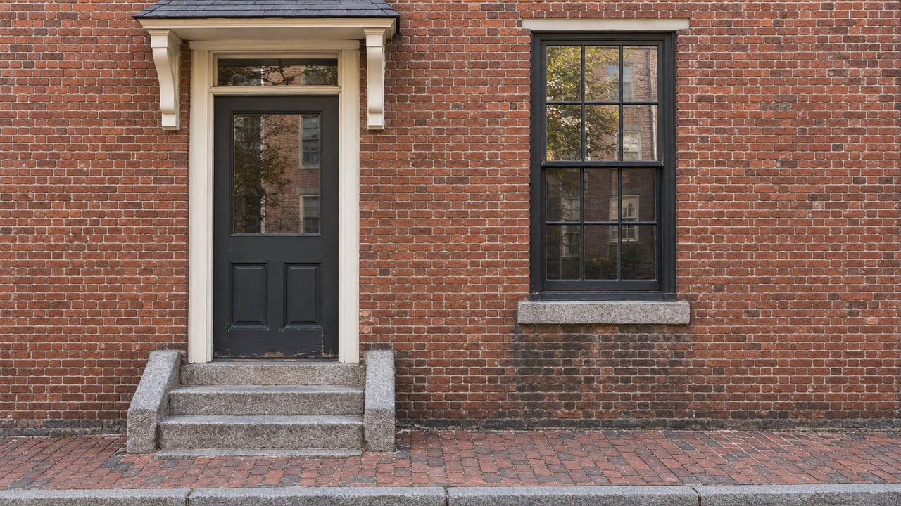
For many buyers, Yarmouth Village is the easiest place to picture. It is the historic center of town, and it includes Main Street businesses and restaurants, schools, historic buildings, Royal River Park, and walking and biking paths.
The Village is also broader and more layered than many people first expect. Local historic materials describe today’s village as two distinct historic villages: Lower Village near the Royal River mouth and harbor, and Upper Village farther inland around Main and Elm.
Lower Village and Upper Village Feel Distinct
Lower Village is tied more closely to the harbor and the Royal River. Upper Village connects more directly with the inland civic core around Main Street and Elm Street. Together, these areas form the most historically rich part of Yarmouth.
A local historical survey covered more than 750 historic structures in the village core and identified potential historic districts in Lower Village, Upper Village, and the Royal River Manufacturing Company area on Bridge Street. That helps explain why this part of town often feels more architectural, more established, and less driven by subdivision patterns.
What Village Buyers Often Prioritize
If you want a close-to-everything routine, the Village is often the strongest fit. The comprehensive plan describes this area as older, denser, and close-knit, with strong access to local businesses, schools, parks, and paths.
You may be drawn to the Village if you value:
- Walkability for errands and daily routines
- Older homes and varied architecture
- Proximity to Main Street and Royal River Park
- A neighborhood setting with a more traditional in-town feel
Village II and Village III Bridge Old and New
Just outside the historic core, Yarmouth’s Village II and Village III zoning areas continue that more compact pattern. These areas can appeal to buyers who want some of the convenience of in-town living without being in the most historic section of the Village.
Village II is intended to stay primarily residential, with limited compatible low-intensity businesses, offices, and inn uses. The town also places importance on retaining lawns, trees, and open space in this area.
Village III is designed as a residential living area with limited low-intensity businesses and mixed-use commercial and residential structures. It also serves as a connector between the Village and the Route 1 corridor.
Why These Areas Matter to Buyers
Village III allows tighter lot patterns than lower-density districts farther out. Its minimum lot size is 10,000 square feet, with a 50-foot minimum lot width and 15-foot minimum setbacks.
In practical terms, that means these areas often feel more connected and in-town than Yarmouth’s outer neighborhoods. If you want a balance of neighborhood structure, proximity to the Village, and somewhat smaller lot patterns, Village II and Village III are worth understanding.
Growth Area Neighborhoods Feature Newer Homes
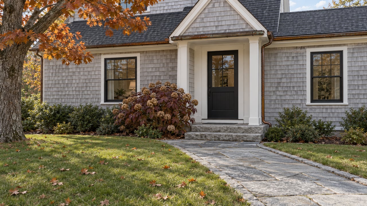
If your image of Yarmouth includes curving streets, subdivision layouts, and newer infrastructure, you are likely thinking of the town’s Growth Area neighborhoods. The 2024 Comprehensive Plan describes these as newer, medium-density suburban developments that provide much of Yarmouth’s housing stock.
These neighborhoods often appeal to buyers who want a more conventional suburban layout. The plan also notes that they are largely walkable and bikeable and connected to trails and open spaces.
What MDR Zoning Tells You
In zoning terms, the MDR district is meant to have public sewer and water and to be readily accessible to the town center. It allows single-family homes on 1-acre lots with 130-foot lot width.
That creates a different feel from the Village. You may see more separation between homes, more planned subdivision design, and a stronger sense of newer neighborhood development rather than historic street patterns.
Ask About Roads and Maintenance Early
One important detail in newer Yarmouth neighborhoods is infrastructure responsibility. The comprehensive plan notes that subdivisions with private roads, stormwater management facilities, or other private infrastructure require a property owners association.
If you are considering a newer subdivision, ask early whether the road is public or private and who handles maintenance. That is a simple question that can make a big difference in how you compare one property to another.
Low-Density Areas Offer More Space
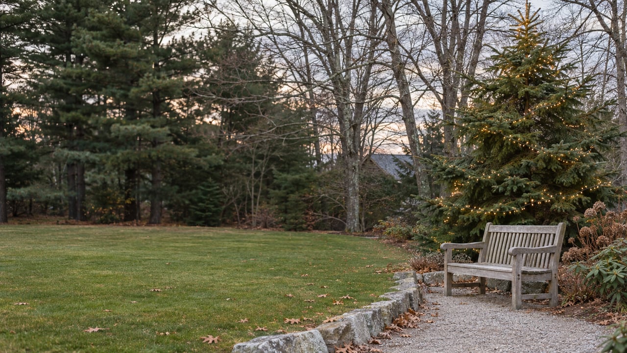
As you move farther from the denser parts of town, Yarmouth shifts toward larger lots and a more rural feel. These areas can be a strong match if privacy, yard space, or a quieter setting matter more to you than being close to Main Street.
The zoning helps show just how much the pattern changes. In the LDR district, a single-family home requires 2 acres, while the RR district requires 3 acres for a single-family home.
RR and LDR Feel More Spread Out
The RR district is intended to remain rural and support low-density residential, recreational, and agricultural pursuits. The LDR district is still residential, but it is somewhat less open than RR.
For buyers, these parts of Yarmouth often feel more wooded, more spread out, and more car-dependent. The tradeoff is usually less village walkability, along with larger yards, longer driveways, and more property to maintain.
Coastal and Island-Adjacent Areas Have Their Own Rules
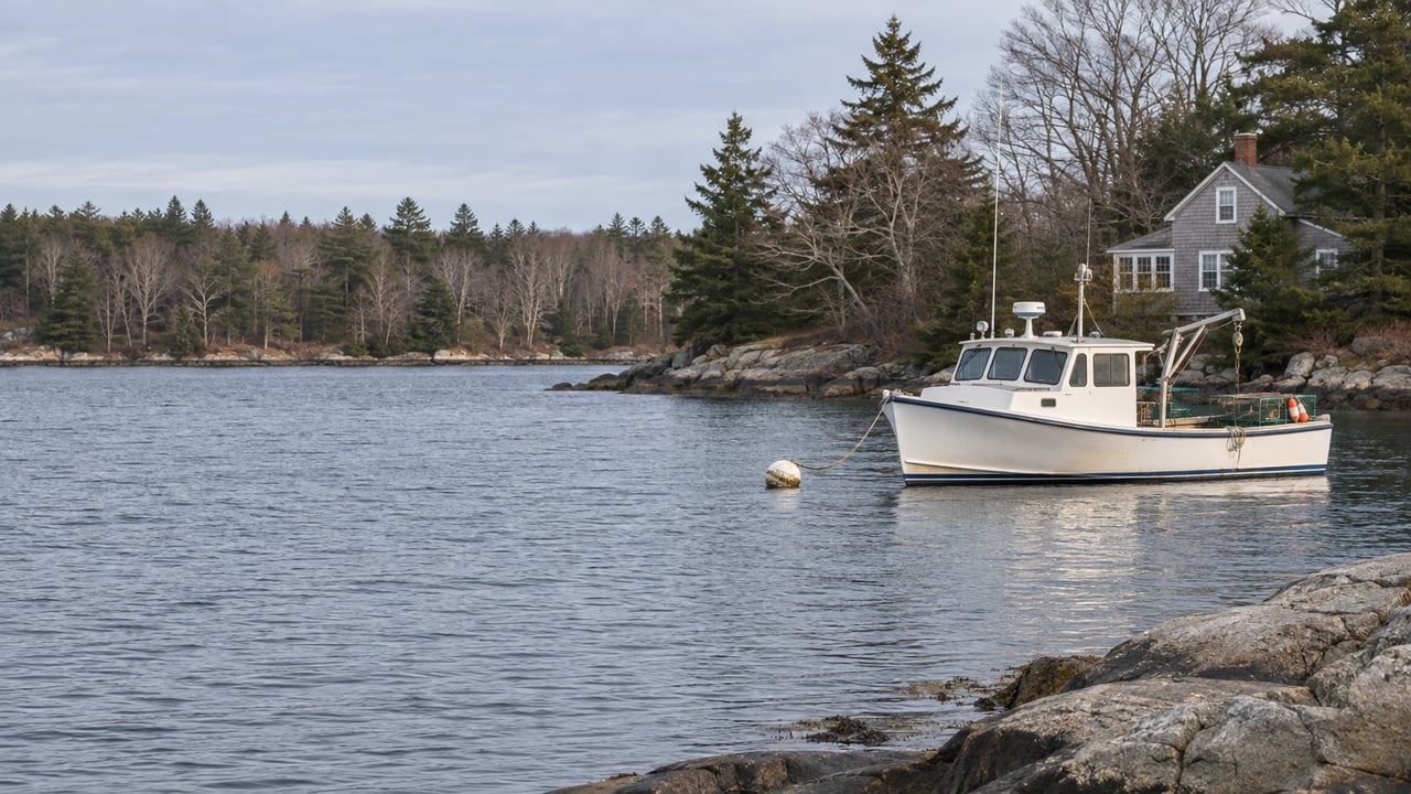
Yarmouth’s coastal lifestyle is real, but it is important to understand what that means in practice. In this town, water-oriented living is often more about boating, paddling, mooring, and shoreline access than a broad public beach experience.
Public access points listed in Maine’s Coastal Public Access Guide include Town Landing, Madeline Point on Cousins Island, Sandy Point Beach on Cousins Island, and Sunset Point Overlook. Town Landing is described as an all-tide paved launch with floats and harbor access to the Royal River estuary, while Sunset Point is hand-carry access only.
Shoreland Rules Shape Coastal Property
Coastal housing in Yarmouth is shaped by the Shoreland Overlay District. For new residential lots, minimum shoreline frontage and land area are 150 feet and 30,000 square feet near tidal areas, and 200 feet and 40,000 square feet near non-tidal areas.
That means near-water parcels are often larger and more regulated than typical in-town lots. If you are comparing a village home to a shoreland property, you are often comparing two very different ownership experiences.
Walkability and Access Vary Across Town
One of Yarmouth’s biggest advantages is that it offers both small-town character and regional convenience. The town is about 11 miles northeast of Portland and is accessible from both I-295 and Route 1.
Within Yarmouth, daily-life access is strongest in and around the Village. That is where you will find the highest concentration of businesses, restaurants, schools, park access, and walking and biking connections.
Trails Add to Everyday Mobility
The Beth Condon Pathway runs along Route 1 and connects Portland Street to the East Main Street overpass. The West Side Trail links neighborhoods, office parks, preserves, and public beaches, and it now extends more than 10 miles round trip.
The town’s 2024 plan also sets a goal of having a park or publicly accessible natural area within a 10-minute walk or bike ride from every neighborhood. For buyers who care about outdoor access, that is a meaningful part of how Yarmouth functions day to day.
How to Compare Yarmouth Neighborhoods
If you are deciding between historic in-town streets and newer homes, it helps to compare the town by lifestyle rather than by name alone. Yarmouth changes noticeably as you move from the Village to village-adjacent areas, then outward to newer neighborhoods, lower-density residential pockets, and shoreland areas.
A few comparison points can help narrow your search:
- Strongest walkability: Village, Village II, and Village III
- More historic architecture: Lower Village and Upper Village
- More subdivision planning: Growth Area neighborhoods and MDR areas
- More land and privacy: LDR and RR districts
- More water-oriented access: Harbor areas, Cousins Island, and shoreland parcels
- More ownership questions to ask: Newer subdivisions with private roads or owners associations
The right fit depends on how you want to live every day. Some buyers want to walk to Main Street and enjoy an older in-town setting. Others want a newer home, a larger lot, or easier access to boating and shoreline launch points.
If you want help sorting through Yarmouth’s neighborhoods, home styles, and property tradeoffs, McFarlane Field Associates offers experienced guidance for buyers, sellers, and relocating clients across Coastal Maine and Greater Portland.
FAQs
What are the main neighborhood types in Yarmouth, Maine?
- Yarmouth is easiest to understand as a mix of the historic Village, village-adjacent areas like Village II and Village III, newer Growth Area neighborhoods, lower-density residential areas, and coastal or island-adjacent pockets.
Which Yarmouth areas are most walkable for homebuyers?
- Walkability is strongest in the Village, Village II, and Village III, where you are closer to Main Street businesses, restaurants, parks, and walking and biking connections.
Where can you find newer homes in Yarmouth?
- Newer homes are often found in Yarmouth’s Growth Area neighborhoods, which the town describes as newer, medium-density suburban developments with subdivision-style planning.
Which Yarmouth areas usually have larger lots?
- Lot sizes generally increase as you move outward from the Village, with Village III at 10,000 square feet minimum, MDR at 1 acre for a single-family home, LDR at 2 acres, and RR at 3 acres.
What should buyers ask about newer Yarmouth subdivisions?
- Buyers should ask whether roads and infrastructure are public or private and whether a property owners association is responsible for maintenance.
What is coastal living like in Yarmouth, Maine?
- In Yarmouth, coastal living is often centered on boating, paddling, mooring, docks, launches, and overlooks rather than long stretches of public beach frontage.